
Coeur d'Alene ZIP Directory Range
Official postal material associates three codes with Coeur d'Alene: 83814, 83815, and 83816. They do not form a legal map of the city. USPS location records place the main postal location in 83814 and a carrier annex in 83815, while 83816 is tied to post office box and mailing use. The distinctions matter. A facility address is evidence about mail service, not a list of nearby homes, and a box number cannot prove where its holder lives.
| ZIP | Local evidence | Postal facility | Search caution |
|---|---|---|---|
| 83814 | Coeur d'Alene core and general-delivery evidence | Coeur d'Alene Post Office, 111 N 7th Street | Not a city-limit or population boundary |
| 83815 | Coeur d'Alene carrier-service evidence | Carrier Annex, 3845 N Schreiber Way | Facility location does not define all deliveries |
| 83816 | P.O. Box and mailing use | Postal-box service | Does not identify a physical residence area |
The USPS Coeur d'Alene location record is the best official check for the 83814 facility. This Coeur d'Alene ZIP code directory uses the older official range only as support, since no current public USPS boundary file was found. Verify each deliverable address rather than assigning a neighborhood from the code alone.
The USPS facility page shows the local post office details captured below.
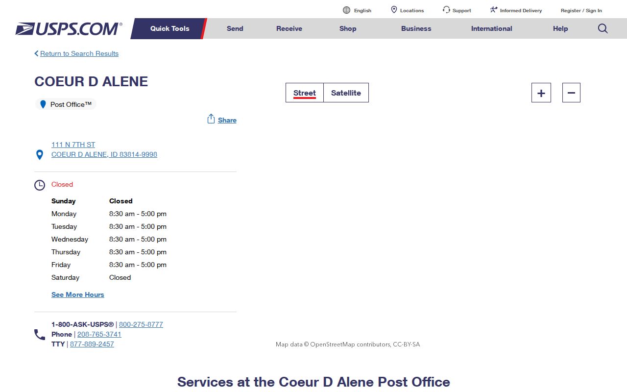
The location record anchors the postal code to a facility, but it still does not draw the delivery boundary around city parcels.
USPS Evidence for Coeur d'Alene ZIPs
The official Domestic Mail Manual archive lists the 83814 through 83816 range under Coeur d'Alene. It is useful when an older directory, letter, or institutional record carries only a city label and code. The evidence has limits because it is an archived postal reference, not a live polygon map. Current address validation still belongs in the USPS lookup.
The archived USPS ZIP prefix reference preserves that range.
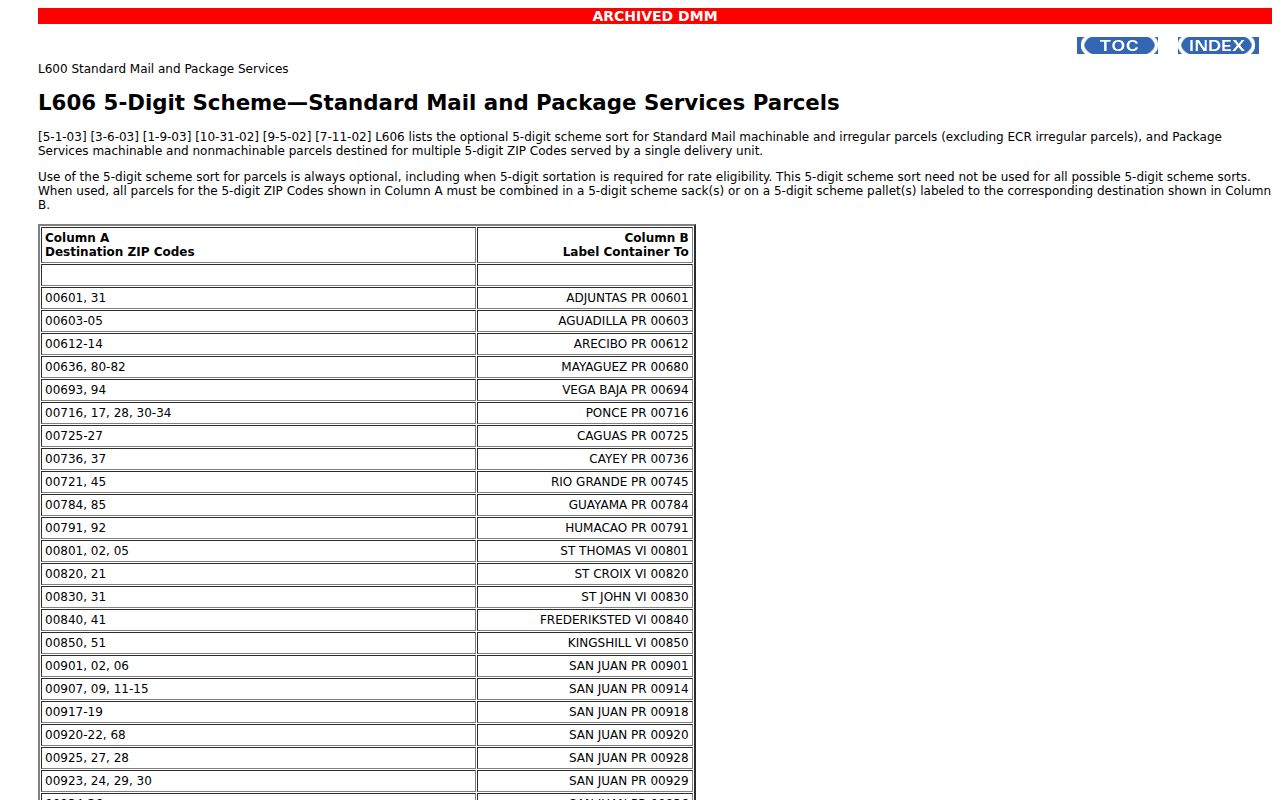
The archive confirms postal naming evidence while leaving parcel coverage and current routing to newer sources.
Do not turn the three-code range into a resident count. Businesses, post office boxes, county-only parcels, and multi-unit addresses may all appear under the same postal city. Census geography also follows different boundaries.
Search Coeur d'Alene Postal Records
The USPS ZIP Code Lookup offers three distinct searches. Choose the one that fits the fact already known. Its result verifies mail information only. It does not name an owner or show who occupies a home.
| Lookup mode | Fields or result | Best use |
|---|---|---|
| By address | Company, street, unit, city, state | Confirm a complete delivery address and ZIP |
| By city and state | City and state | Find postal codes associated with the city label |
| By ZIP | Five-digit ZIP | Test the USPS city and state associated with a code |
Apartment and suite details matter. A five-digit match does not prove that a person or company receives mail at the address, and it does not replace a parcel search.
Find Coeur d'Alene Residents by ZIP
No official portal found in the research offers a complete ZIP-wide roll of Coeur d'Alene residents. A sound ZIP code directory method turns a postal result into an address, then into a parcel and its public record. The Assessor supports property-address, owner, PIN, AIN, and legal-description searches, but a separate ZIP filter was not confirmed. County and City GIS can test parcel location, though their public ZIP layers also require live verification.
- Run the full address through USPS. Save the normalized street, unit, postal city, and five-digit code.
- Search the Kootenai County Assessor by property address. Record the parcel PIN or AIN and the situs address.
- Open the parcel in KCEarth and the City map. Confirm city limits, county-only status, and the date of the visible layers.
- If election geography matters, request the correct precinct or district from Kootenai County Elections. Do not assume it follows a ZIP line.
- State exactly which population the result represents, such as validated addresses, mapped parcels, or registered voters.
Once the postal search narrows to an actual road, the Coeur d'Alene street directory carries the work to street-level records. Keep owners, voters, businesses, and occupants labeled as separate groups.
Coeur d'Alene ZIPs and Precincts
Kootenai County Elections can provide a current registered voter list with history by county, legislative district, taxing district, or precinct. Its request form does not promise a ZIP-wide list. A precinct can cross a postal boundary, while a Coeur d'Alene mailing label can extend beyond the city. Idaho election data also carries political-purpose and noncommercial-use restrictions.
The Kootenai County Elections page supplies the local request route and precinct resources.
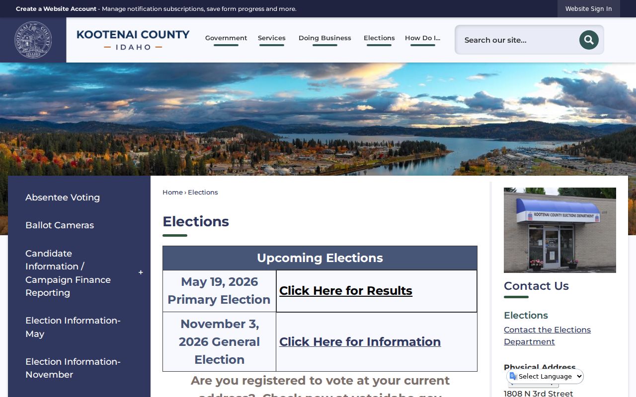
The county page helps choose an election geography, which should be named in the request rather than inferred from the mailing code.
State dashboards are better for aggregate context than for finding one person. The VoteIdaho data and dashboards page publishes county and district views.

Those maps show why election totals should not be presented as ZIP population figures.
Note: A voter record confirms registration or election history, not ownership, present occupancy, or a person's vote.
Coeur d'Alene Address Records
Kootenai County GIS maintains official addressing data under a uniform system used for emergency response and postal standards. Access points help determine parcel addresses. The Road Names and Addressing page and county ordinance explain that civic process. It is distinct from USPS delivery geography.
A useful research record keeps both versions: the normalized postal address from USPS and the situs address shown by the Assessor. Add the PIN, AIN, legal description, incorporated jurisdiction, map date, and the form printed in the original source. This matters when a directory uses a rural route, a box, or an older city label.
Postal quirk. A Coeur d'Alene label with 83814, 83815, or 83816 does not by itself prove incorporated-city jurisdiction.
Coeur d'Alene Records Across Time
Population figures show why modern postal geography cannot be laid over every historic resident source. The final federal count was 401 people in 1890, 508 in 1900, 7,291 in 1910, 6,447 in 1920, 8,297 in 1930, 10,049 in 1940, and 12,198 in 1950. The 2020 Census city profile reports 54,628 people across about 16.1 square miles of land. These counts describe the incorporated city at stated census dates, not the population receiving mail under its postal name.
Kootenai County's Assessor reported more than 97,500 assessable parcels and accounts as of January 1, 2025. That county total includes far more than Coeur d'Alene households. It also includes commercial land, vacant parcels, trusts, and other ownership forms. A parcel total, postal address total, and census population each measure a different thing.
Historical work should begin with the source's own address language. Save a rural route, box number, older street form, or neighboring postal label exactly as printed. Then test it against a directory, newspaper, Sanborn sheet, deed, or census map from the same era. No official citywide street-number crosswalk was found, so two independent anchors are safer than a modernized address alone.
Coeur d'Alene ZIPs Versus City Limits
A Coeur d'Alene postal label can reach county-only land, while annexation may change municipal jurisdiction without changing mail service. Use KCEarth, county parcel maps, and the City of Coeur d'Alene GIS map to test the parcel against the current city line. Record the map date because annexation and layer updates can occur at different times.
- ZIP and ZIP+4
- A ZIP is the five-digit delivery area. ZIP+4 adds a route segment, building, box group, or similar delivery detail.
- PO-box ZIP
- A code used for mail collected at post office boxes, not a physical home boundary.
- Unique ZIP
- A code assigned to one high-volume organization. No unique Coeur d'Alene ZIP was confirmed in the research.
- Carrier route
- The sequence or group used to deliver mail. It is operational postal geography, not a city district.
For old records, compare the printed address with directories, newspapers, parcels, and maps from the same period. A modern ZIP should not be projected backward onto a 1950 census area or an early city directory. This Coeur d'Alene ZIP code directory works best as the first geographic filter, never as the final proof of residence.
Document a Coeur d'Alene ZIP Match
A reproducible result states the unit, source, and search date. Preserve the address as first printed, the USPS-normalized form, and the parcel key. Then note whether the record describes a person, owner, voter, business, box holder, or address. That role language prevents a postal clue from becoming an unsupported claim about residence.
| Field | What to record |
|---|---|
| Postal evidence | City, state, ZIP, unit, and USPS lookup date |
| Property evidence | Situs address, PIN/AIN, legal description, and public owner role |
| Jurisdiction | City, county-only, or annexation status with map date |
| Time and confidence | Date being tested, aliases, and unresolved conflicts |
This final check is especially important for 83816 boxes and for county parcels using Coeur d'Alene as their postal city.
When two sources disagree, do not choose the most recent-looking screen without checking its purpose. USPS may normalize mail delivery while the Assessor preserves a situs form, the Recorder uses a legal description, and an election file follows a precinct. Keep each version beside its custodian and date. A later map can settle current jurisdiction, but it cannot silently rewrite the address printed in an older deed or newspaper.
For a request to a public office, ask for an existing record with a narrow date range and a named geography. The Idaho Public Records Act does not require an agency to invent a custom resident list. A clear request for a parcel map, precinct record, or recorded instrument is more reproducible and less likely to collect unrelated personal data.