
Locate Coeur d'Alene Neighbors
“Neighbor” can mean an adjoining parcel, a home across the road, the same platted block, or a civic neighborhood. Those are different searches. Kootenai County and City maps establish the geography. The Assessor adds the public owner and parcel record. Deeds, permits, historic maps, and meeting files answer narrower questions about change. None of these sources is a complete list of current household members.
| Source | Block evidence | How to access it |
|---|---|---|
| KCEarth and City GIS | Parcel edges, roads, address points, city line, subdivisions | Free public map viewers |
| Kootenai Assessor | Owner role, situs address, PIN/AIN, legal description, transfer clue | Free public property search |
| Recorder and permits | Deeds, plats, easements, projects, and dated public notices | Online index, office, and city/county systems |
| Election records | Qualified public voter information within an election geography | Individual lookup or restricted county request |
| Civic and historic records | Named area, public meetings, district context, block history | City plans, packets, library, and Museum |
The safest output calls each person what the record calls them. “Assessor owner,” “deed grantee,” and “permit applicant” are precise. “Resident” requires separate support. A mailing address can differ from the property address, and an LLC, trust, estate, or nonresident may own the parcel.
Define a Coeur d'Alene Block
Start by stating the relationship being tested. A parcel that shares an edge or corner is contiguous. A parcel across a street or alley is nearby but not adjoining. A plat or subdivision can group lots that do not touch, while a civic neighborhood may follow planning history rather than parcel lines.
- PIN
- The 12-character parcel identifier used by Kootenai County; portal tips say to remove dashes.
- AIN
- The six-digit assessor account or identification number, which is not interchangeable with a PIN.
- Situs address
- The physical property address shown on the parcel record, which may differ from the owner's mailing address.
- Legal description
- The subdivision, lot, block, or survey text that identifies land more durably than a street number.
Save the map date and visible layers. Parcel geometry can be generalized, and a road centerline is not a legal boundary. The research did not confirm a stable one-click export of all adjoining Coeur d'Alene neighbors.
Map Coeur d'Alene Neighbor Parcels
The KCEarth parcel viewer supplies county context, while the City of Coeur d'Alene map adds city parcels, streets, zoning, and limits. When a selection or buffer tool is unavailable, inspect the parcel map and verify each shared edge by hand.
- Normalize the subject address and find its parcel. Save the PIN, AIN, legal description, and map date.
- Mark every parcel that shares an edge or corner. List across-road and across-alley properties separately.
- Search each identifier in the Kootenai County Assessor portal. Capture only the public fields needed.
- Use the Recorder or permit system only when a deed, plat, easement, project, or transfer answers the block question.
- Label the role and date for each name. Do not convert current ownership into proof of occupancy.
For a whole named road rather than the immediate block, follow the Coeur d'Alene street directory. That broader workflow traces addresses along the street and avoids mixing them with a radius search.
Note: The most reliable neighbor match is a dated GIS boundary plus a parcel identifier, not a guess based on consecutive house numbers.
Coeur d'Alene Civic Neighborhood Records
The City's comprehensive plan uses names such as Fort Grounds, Sanders Beach, Government Way, Sherman Avenue, and East Mullan Historical Neighborhood. These labels help locate planning files and public meetings. They are not fixed proof that every address belongs to an association. A City Council packet documenting Fort Grounds HOA testimony establishes civic activity at that time, not a current member roster.
City Planning Context
Use the 2007 comprehensive plan for official neighborhood vocabulary and broader planning areas. Confirm present boundaries through current City maps and files.
Historic Preservation Commission
Use district maps, tours, demolition review, agendas, and public comments for historic properties and streetscape change.
Downtown Core Working Group
Use public project and meeting material for current civic context. Participants do not represent every downtown resident.
No current public contact roster for every named Coeur d'Alene neighborhood association was located. Ask for public bylaws, minutes, or meeting notices when those records answer a civic question. Do not seek private member names, emails, or home addresses.
Historic Coeur d'Alene Neighbors
The Historic Preservation Commission resources identify the Garden District, which entered the National Register in April 2025, and link guides, tours, and demolition-review material. Structures built before 1960 can produce dated public review files with property context and, where public, adjoining-owner notices or comments.
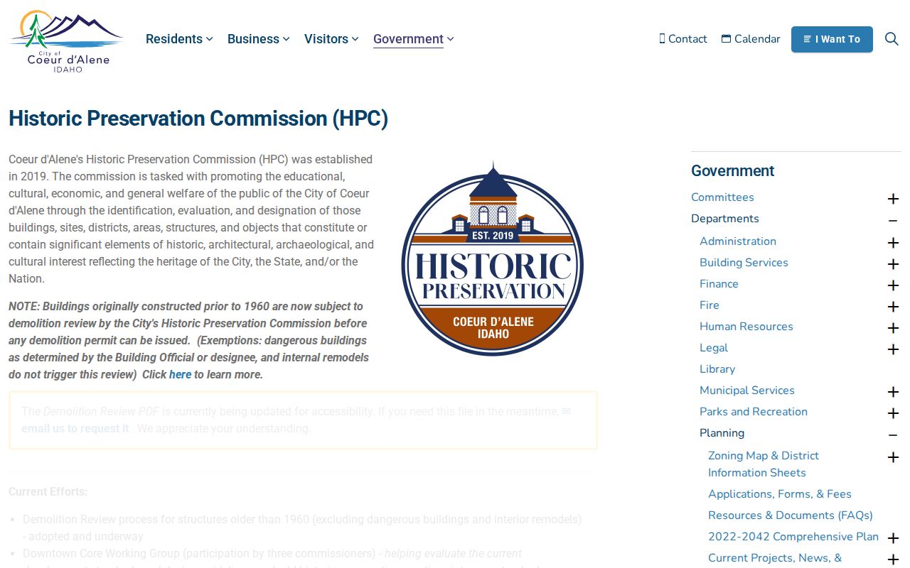
The preservation page connects block research to official district and building history without claiming that a historic designation identifies today's occupants.
A 1954 Sanborn sheet can show a structure's footprint and use, while a directory or newspaper supplies a human link. Those sources describe different dates. A sound neighborhood history keeps a 1910 directory name, a 1954 building, a 1970 deed, and a current owner in separate rows.
Coeur d'Alene Block Filings
Recorded plats and easements explain lot layout, access, and shared features. Building permits can date construction, while code and planning files may document public notices or conditions. A contractor or permit applicant is a project participant, not a neighbor. Use these files to explain a change in the block, not to build a contact list.
The Kootenai County Code Enforcement page shows the county route for property-code matters.
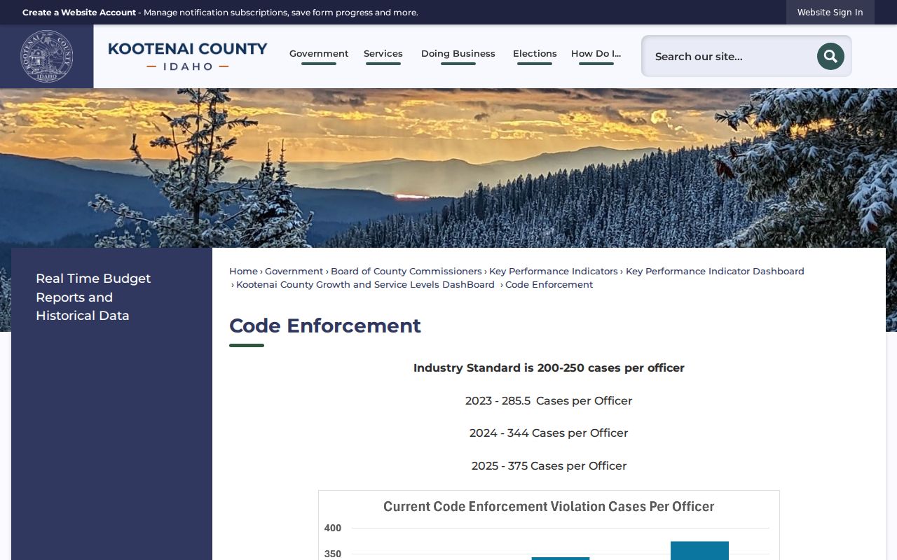
The county page helps identify the correct custodian and process; it does not confirm who occupies the affected parcel.
For city projects, the address-based permit search can show a permit number, owner, contractor, project, issue date, value, and type. Read each field by its label. If a current portal does not expose an older file, use the City or County request form with an exact address, date range, and record category.
Local Coeur d'Alene Directory Clues
The Chamber member directory is useful for a public business location on or near a block. It is not a resident source, and its ZIP control cannot identify households. Churches, civic groups, and associations likewise publish information for their own purpose. Use a public meeting notice or organizational contact as civic context, never as a substitute for parcel evidence.
The Coeur d'Alene Chamber member directory illustrates the local business layer.
The directory can connect an organization to a business address, but the published member result says nothing about nearby household members.
Coeur d'Alene Voter Geography
Kootenai County Elections can provide a current registered voter list with history by county, legislative district, taxing district, or precinct. The request may include up to eight elections, and history is described back to 2012. Delivery can be a CSV by email or a USB for the listed charge. The requester must certify a permitted political use and must not copy the data outside the stated organization or use it commercially.
That process does not create a block roster on demand. A precinct may cross a city or postal boundary, and the individual VoteIdaho portal is meant to check a known person's record. Public registration information can confirm an election-record presence, but ballot choices remain secret. Month and day of birth, driver-license number, and the last four Social Security digits are withheld.
When a lawful civic question requires voter data, name the exact election geography and time period. Preserve the county response and search date. Exclude signatures, identification numbers, full birth dates, and any substitute address. A canceled registration also does not prove when a person left a block because cancellation can follow nonparticipation, returned mail, or an administrative process.
Record Coeur d'Alene Block Evidence
A small evidence table prevents names from several eras from being merged. Give each parcel or civic area one row. State whether it is contiguous, corner-adjacent, across a road, in the same plat, or merely part of a named planning area. Add the source date and the exact public role shown.
| Evidence field | What to save |
|---|---|
| Map relationship | Subject parcel, shared edge or corner, road separation, and visible layers |
| Property key | PIN, AIN, situs address, legal description, and map date |
| Named party | Owner, grantee, applicant, commenter, business member, or directory resident |
| Historic context | Deed, plat, permit, directory, newspaper, Sanborn sheet, or civic file date |
| Limits | What the record does not prove about occupancy, membership, or present status |
This format makes the geography clear before a name is added. It also lets another researcher reproduce the result after a map layer or public portal changes.
Official Coeur d'Alene Neighbor Sources
Official rolls answer narrower questions than commercial neighbor tools, but their roles and dates are clearer. Commercial compilations may merge old addresses, relatives, phone data, and unrelated people. They rarely explain parcel geometry or the exact source date.
| Source type | Strength | Key limit |
|---|---|---|
| GIS and Assessor | Dated parcel shape, identifier, situs, and owner role | Owner is not necessarily occupant |
| Recorder and permits | Legal instruments and dated property activity | Parties may never have lived there |
| Civic and historic files | Named area, public events, building and block change | Not a current resident roster |
| Commercial compilation | May gather many names quickly | Source, date, match logic, and corrections may be unclear |
For personal neighborhood research, record the smallest amount of information needed and return to the named custodian when a fact matters.
Privacy for Coeur d'Alene Neighbors
Public property sources do not list every renter, child, family member, guest, or present occupant. VoteIdaho is meant to check a known individual's record, while Kootenai voter-list requests have election-law use restrictions. Ballot choices, identification numbers, signatures, and protected substitute addresses do not belong in a neighbor file.
Idaho's Address Confidentiality Program allows eligible survivors to use a substitute address. Never use deeds, voter data, or maps to defeat that protection. Idaho Code §74-120 also restricts distribution of personal lists, and public-record custodians need not create a custom resident roster.
Lawful use. Research Coeur d'Alene neighbors for civic context, property history, reconnecting, or personal safety. Stop if the work could watch, harass, intimidate, or harm someone.
Keep the source URL, retrieval date, public role, and only the least identifying field needed. The county's July 2026 ransomware notice makes that data-minimization practice timely. A current neighbor lookup should never become a permanent private dossier.