
Walk a Coeur d'Alene Street
The sound street-by-street method moves from a civic address to a durable land key. Kootenai County maintains official addressing data, the Assessor connects an address to a parcel, and the Recorder connects that parcel to filed instruments. A voter portal is not a street-wide roster. An owner name does not prove occupancy. Each source answers a narrower question.
Write down the source date at each step. County and city map layers may change after annexation, a new plat, or road work. Preserve the address exactly as found in a deed, directory, or paper before testing a modern form.
- Check the civic road name and normalize road types, directional prefixes, and Mount versus Mountain.
- Search the Assessor by property address, then save the PIN, AIN, legal description, and last-transfer instrument.
- Open KCEarth and the city map to confirm the address point, parcel edges, road, zoning, and jurisdiction.
- Use the Recorder index for the deed, plat, easement, lien, or other instrument tied to the land.
- Add a dated permit, directory, census, or newspaper only when the question calls for a person or building history.
This sequence keeps a Coeur d'Alene street directory tied to land even when the typed street changes. It prevents a tax mailing address from being mistaken for the property itself.
Coeur d'Alene Addressing Rules
The Kootenai County Road Names and Addressing office maintains official address data through GIS. Its ordinance uses parcel access points to support E911, USPS, and national emergency-number standards. That system explains a current civic number. It is not a full list of former names or old numbers.
The county civic street index is a useful spelling check. Try the full road type, directional forms, numbered streets, and old subdivision wording. No official chronological renumbering crosswalk was found. When an old address fails, keep its original text and shift to a plat, legal description, Sanborn block, newspaper landmark, or directory year. Government Way and Sherman Avenue also cross distinct planning settings, so a familiar name should not be treated as one unchanging neighborhood.
The live county page shows the official route into the system.
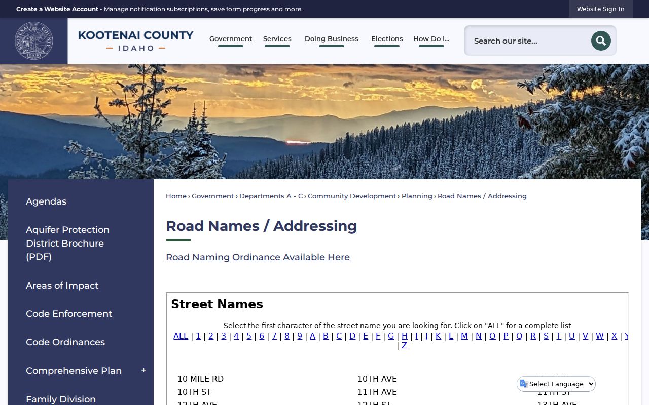
The captured page helps separate a county civic address from a historic or informal street label.
Note: A valid current number may differ from the form printed in an old Coeur d'Alene directory or newspaper.
Search Coeur d'Alene Parcels
The Kootenai County Parcel Information Search is the main bridge from a street address to land. Less information returns more matches. Spell streets fully, remove dashes from a 12-character PIN, enter an AIN as six digits, and put the last name first for owner searches. An asterisk works as a wildcard.
| Search field | Format | Best use |
|---|---|---|
| PIN | 12 characters, no dashes | Known parcel |
| Owner | Last name first; start broad | Assessed owner candidates |
| Property Address | Spell street fully; test variants | By-street matches |
| AIN | Six digits | Precise account |
| Legal Description | Lot, block, subdivision, or land text | Address-independent match |
A result may show ownership, value, parcel number, short legal text, lot size, last-transfer date and instrument, building traits, photos, and sketches. Inspect the live card rather than assume each field is present. The Assessor reports more than 97,500 assessable parcels or accounts as of January 1, 2025. That scale does not equal the resident count.
Map Coeur d'Alene Street Parcels
The KCEarth county viewer and City of Coeur d'Alene map add geometry to the street directory. They help test whether an address point falls on a parcel, which lots share an edge, where a road right-of-way lies, and whether city-limit or zoning overlays apply. Exact live tool labels were not confirmed, so record the map date and verify each parcel click.
If ArcGIS fails, use the county's parcel-map page. It supplies a stable fallback and contact route.
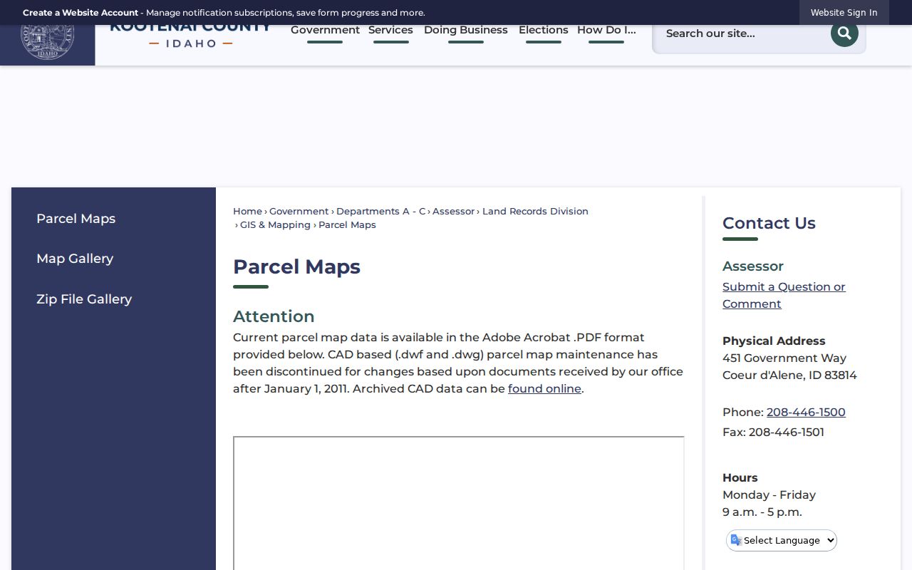
The captured parcel-map route is useful when the live viewer will not load or a printable source is easier to cite.
Across-the-road parcels are nearby, but not legally contiguous. Confirm each lot with its PIN or AIN, legal description, and map date before attaching a public owner name.
Coeur d'Alene Records by Address
No source is a full resident roll. The value of the street directory comes from matching a parcel across independent files, while stating what each file can establish.
| Record | Keeper | What it shows | Access |
|---|---|---|---|
| Property account | County Assessor | Owner, parcel key, legal text, transfer and building clues | Portal or Assessor help |
| Parcel map | County and City GIS | Geometry, road, address point, zoning, jurisdiction | Viewer, map PDF, GIS contact |
| Recorded instrument | County Recorder | Deeds, liens, plats, surveys, easements, mortgages | Index from 1996; office or mail for older work |
| Permit or code case | City or County development office | Address, party, project, status, valuation | Portal or narrow request |
| Historic identity | Library, Museum, archives | Dated household, business, event, or building evidence | Digital, shelf, reel, appointment |
| Postal label | USPS | Deliverable city and ZIP | Official ZIP lookup |
The chain is strongest when its PIN or legal description stays constant. A deed name may mean owner, spouse, lender, trustee, beneficiary, claimant, preparer, or return-mail recipient. Do not turn one role into a claim that the person lived there.
Deeds Along Coeur d'Alene Streets
The Kootenai County Real Estate Index supports party-name, instrument-number, and legal-description work. Its public online range begins in 1996, while the Recorder says real-property documents begin in 1881. Older work may require the counter, mail, book and page references, or a paid research firm.
Start with the last-transfer instrument from the Assessor. Save its number, date, type, parties, and legal text. Then inspect deeds, plats, surveys, releases, liens, and easements as needed. Copies are listed at $1 per page, with certification and return-mail charges where applicable. Free viewing does not mean every old image is online.
- Parcel
- A mapped unit of land identified by a PIN or AIN.
- Situs address
- The physical property address, which can differ from the owner's mail address.
- Plat
- A recorded map of lots, blocks, streets, and subdivision facts.
- Criss-cross directory
- A directory arranged by address or phone, rather than only by surname.
The parcel and legal description follow the land. The situs and directory listing describe it at a point in time.
Coeur d'Alene Permit Trails
The City building search accepts a permit number or address. Reports can list permit number, address, owner, contractor, project, issue date, value, and type. County Community Development materials also describe permit, planning-project, case, location, and report searches.
Permit names show who was tied to work, not all people in a building. Historic preservation adds another layer. The city's pre-1960 demolition review may create notice and comment records, while the Garden District received National Register listing in April 2025. Code files are public subject to Idaho law, and some notices may be recorded. Ask for a parcel, date range, and file type, not a broad people list.
Note: A permit owner, contractor, applicant, or commenter has a documented role, but that role alone does not prove residence.
Verify Coeur d'Alene Street Labels
USPS is the authority for a deliverable postal label. Its ZIP Code Lookup offers address, city-and-state, and ZIP-to-city modes. Coeur d'Alene material uses 83814, 83815, and 83816, but those labels do not define city limits or reveal occupants.
The lookup is useful after the parcel is found, mainly when a source uses a box, unit, rural route, or nearby postal city.
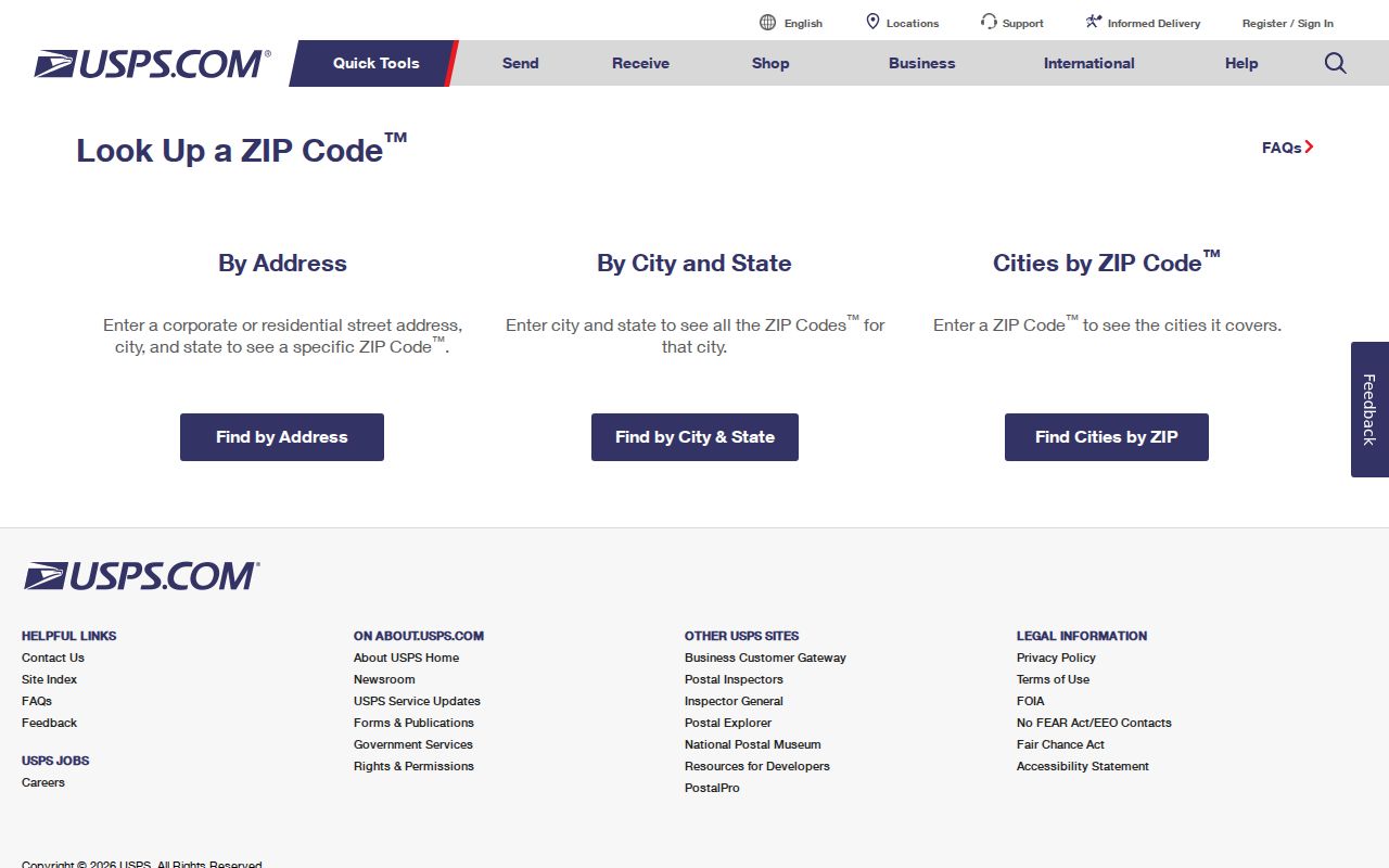
Save the postal result beside parcel jurisdiction. Do not use it as proof that the site lies within incorporated Coeur d'Alene.
Older Coeur d'Alene Street Records
An old number needs three anchors: land, street, and person. Use a deed legal description or plat for the land; a directory, newspaper, census district, map, or Sanborn sheet for the street; and a matching family, job, school, business, cemetery, or event for the person. With one anchor, label the match possible.
The 1954 Library of Congress Sanborn atlas has 38 sheets and can show a footprint or use without naming the occupant. Directories and papers supply the human link. The collections themselves belong on the Coeur d'Alene city directory page, but street work should retain the year, original form, modern normalization, and confidence. Search predecessor papers such as the Spectator, Enterprise, City Times, Journal, and Evening Press when the modern Press is too new.
County land records begin in 1881. The county seat moved to Coeur d'Alene in 1908, so the place where an old legal trail appears may shift. That is records history, not proof that the land moved.
Coeur d'Alene Street Directory Limits
Open address records do not disclose a whole household. Utility account holders, DMV residence data, delivery-route details, private contacts, and most unredacted investigative files are not open street rosters. Idaho's voter portal serves an individual's own lookup; full lists follow another request route and political-use limits. Ballot choices are secret.
Keep owner, mail address, business, permit party, and resident evidence in separate fields. An owner may live elsewhere. A directory may omit someone. Several units can share a building, while a deed describes land. A useful Coeur d'Alene street directory result reports both evidence and limits.
Lawful use. Use Coeur d'Alene address records for legitimate personal research, property history, and civic understanding. Never use them to stalk, harass, intimidate, or harm anyone.
A narrow Idaho Public Records Act request may reach a dated permit, notice, or code file when a portal fails. Name the custodian, parcel, record type, and date range. An agency need not create a bulk resident list it does not keep.